
Real-time response for a changing planet
Riverside Technology, inc has created an affordable, real-time flood inundation mapping solution known as RiverTrak®. RiverTrak is an innovative solution that rapidly produces dynamic maps of depths and extents and is customized to regional watersheds. Maps are created and distributed based on the latest available observed and forecasted gage values from the National Weather Service or private networks. For areas affected by the riverine flooding, RiverTrak provides historical, real-time, and scenario maps that can seamlessly integrate with existing hazard mitigation efforts and information technology.
We provide an affordable, accurate, and real-time floodplain mapping system that puts the power of real-time response, early warning, planning, and situational awareness in the hands of the user.
RiverTrak® produces a customized report based on the impact of flooding at your property of interest. FEMA's regulatory maps show if a structure is in or out of the 100-year floodplain. RiverTrak reports provide you a more comprehensive understanding of flood risk.

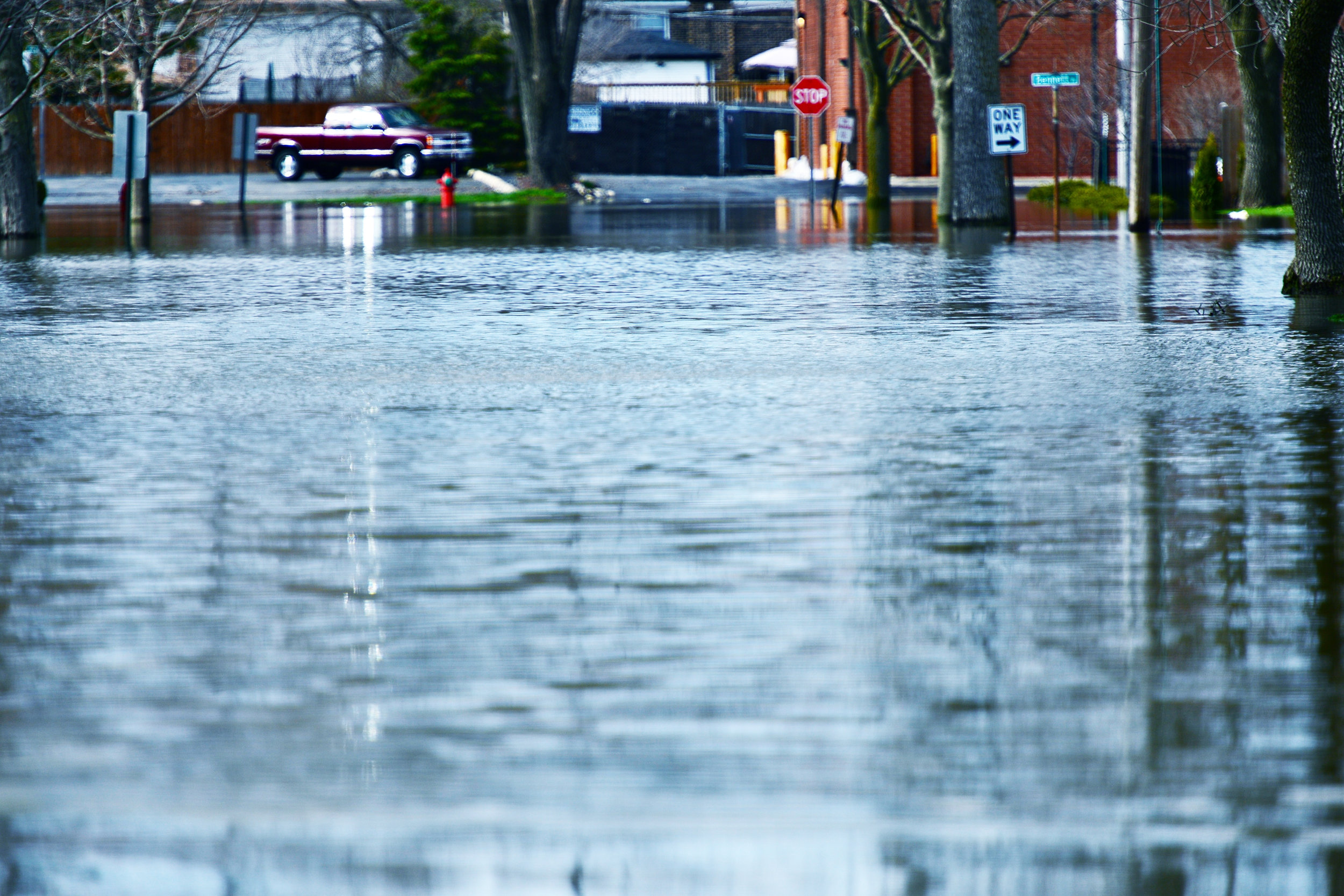
The RiverTrak® floodplain management system allows emergency managers to be prepared by providing near-term forecast maps for early warning.

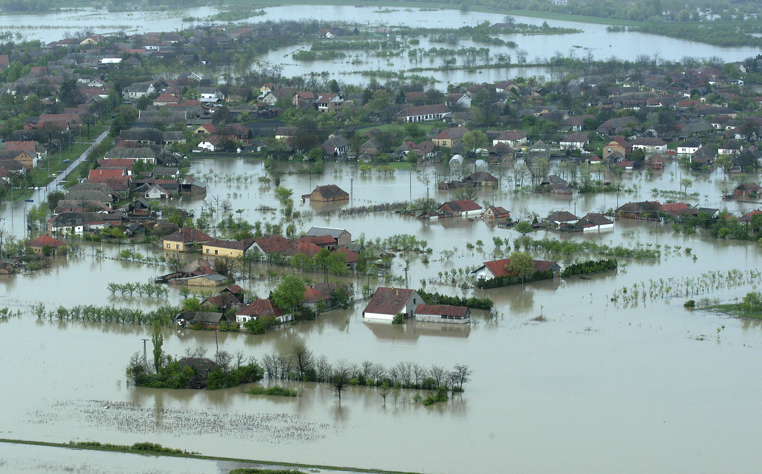
RiverTrak® provides a library of possible scenarios, and tools to create corresponding response plans, that can help aid in floodplain mitigation and emergency response.

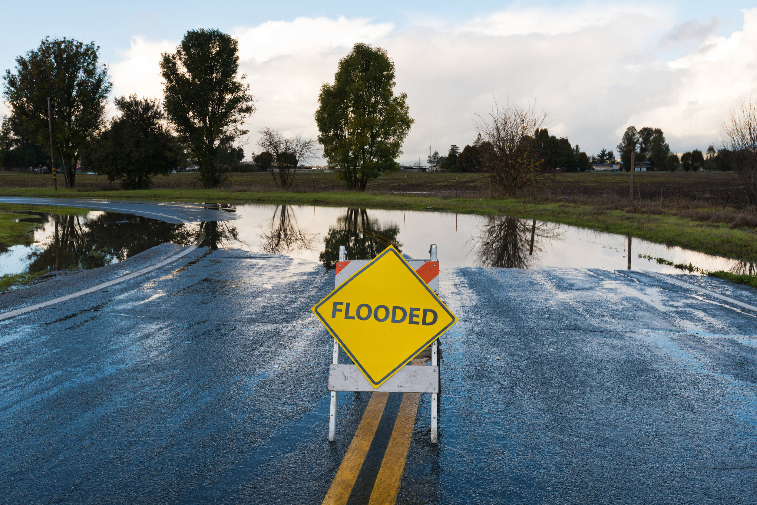
The RiverTrak® system provides situational awareness during a flood by showing depths and inundation extent with real time and forecast mapping.
Interested in additional information about RiverTrak®? Please email us your questions. If you would like a flood report please comment your address as well.

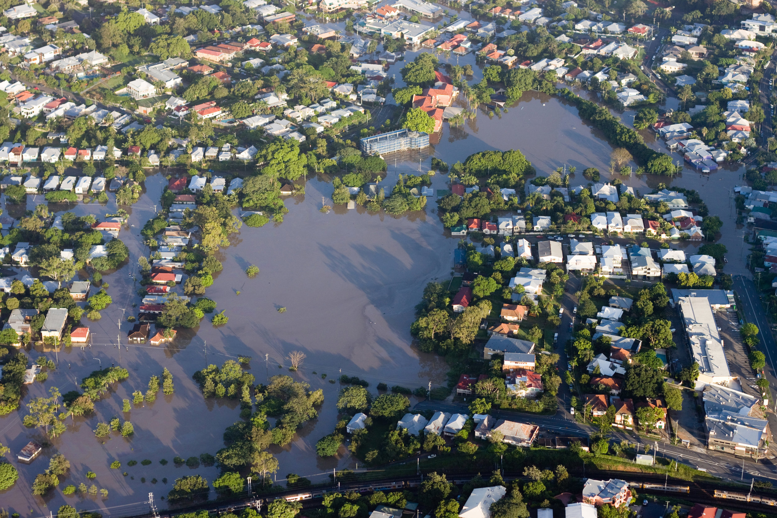
Flooding in Houston--Hurricaine Harvey
Click any image below for more information about how RiverTrak® is using flood inundation mapping to improve lives.